|
|
|
|
|
|
|
 See my page on Facebook |
The historic county of Berkshire was situated
to the west of London and stretches from Windsor in the east to
Newbury in the west and Abingdon in the north. Part of the north of the
county consisting of Abingdon and the surrounding area (known as the
Vale of the White Horse) was transferred to Buckinghamshire in the 1974
reorganisation, but Berkshire also gained Slough and the surrounding
area from Buckinghamshire at that time. Today, Berkshire County Council
no longer exists as an administrative body, after six separate unitary
authorities were created in the 1990s (Bracknell Forest, Reading,
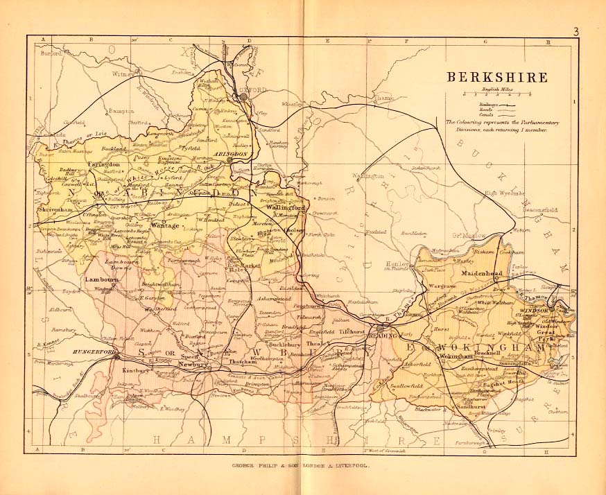
Slough, West Berkshire, Windsor and Maidenhead and Wokingham). The map below shows the original boundaries of Berkshire before the various reorganisations and includes the railway lines. Click on the map itself for a larger version.
|
|
|
Copyright © Family History Research UK |


