|
Services and prices
Services
Prices
Terms of business
Areas covered
Berkshire
Buckinghamshire
Essex
Hertfordshire
Kent
London
Middlesex
Surrey
Other areas
Online records
Births, marriages
and deaths
Census records
Parish registers
Other records
Record offices
The National Archives
London Metropolitan
Archives
Society of
Genealogists
County record offices
Testimonials
About me

See my page on Facebook
|
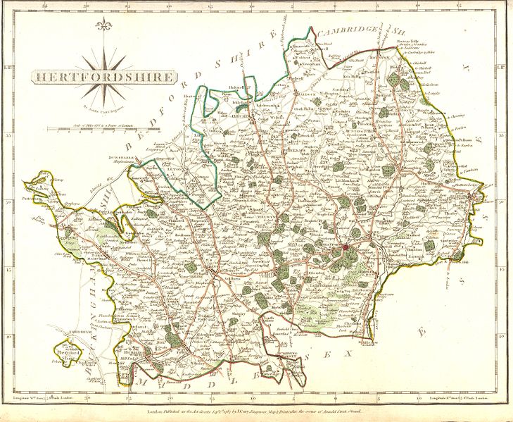
Hertfordshire
lies just to the north of London, stretching from Royston in the north
to Watford in the south, and across to Bishop’s Stortford in the east.
Although much of the county retains a rural character, its history has
always been closely shaped by its proximity to the capital.
For
centuries, Hertfordshire acted as a vital supplier to London. In
earlier periods, this primarily meant agricultural produce, with many
local families working the land as farmers, labourers, and craftsmen
supporting rural communities. Over time, however, the relationship
evolved.
Today, the connection with London is just as
strong—but far more likely to involve people than produce. Particularly
in the south and west of the county, towns such as Watford, St Albans,
and Hatfield developed into major commuter hubs. As transport links
improved, especially from the nineteenth century onwards, many
residents travelled regularly to London for work or relocated there
altogether. As a result, Hertfordshire family histories—especially in
these areas—often overlap with London records.
The
county town is Hertford, located in the eastern half of the county. It
is home to Hertfordshire Archives and Local Studies, based at County
Hall—an essential resource for tracing local ancestry, with extensive
collections of parish registers, wills, maps, and other historical
records.
By
understanding Hertfordshire’s strong links to London, as well as its
rural roots, you can build a clearer and more accurate picture of your
family’s past.
The map
below shows Hertfordshire in the 18th century. Click on the map for a
larger version.
|
