|
|
|
|
 See my page on Facebook |
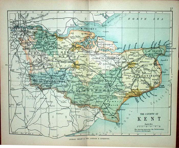
Kent is situated to the south-east of London
and stretches from the Medway towns in the north to Dover in the east
and Tunbridge Wells in the south. Traditionally Kent was divided into two halves, the division being the River Medway. Those living west of the river were known as "Kentish Men" and those living east of the river as "Men of Kent". Your Kent ancestors may have been agricultural workers (if they lived inland) or worked in one of the maritime industries (if they lived near the coast or on the Thames estuary). The county town is Maidstone, and this is where the Kent Archives are located. Other record offices within the county are the Medway Archives Centre in Strood near Rochester, and the Canterbury Cathedral Archives in Canterbury. The map below shows Kent towards the end of the 19th century. Click on the map for a larger version.
|
|
|
Copyright © Family History Research |


